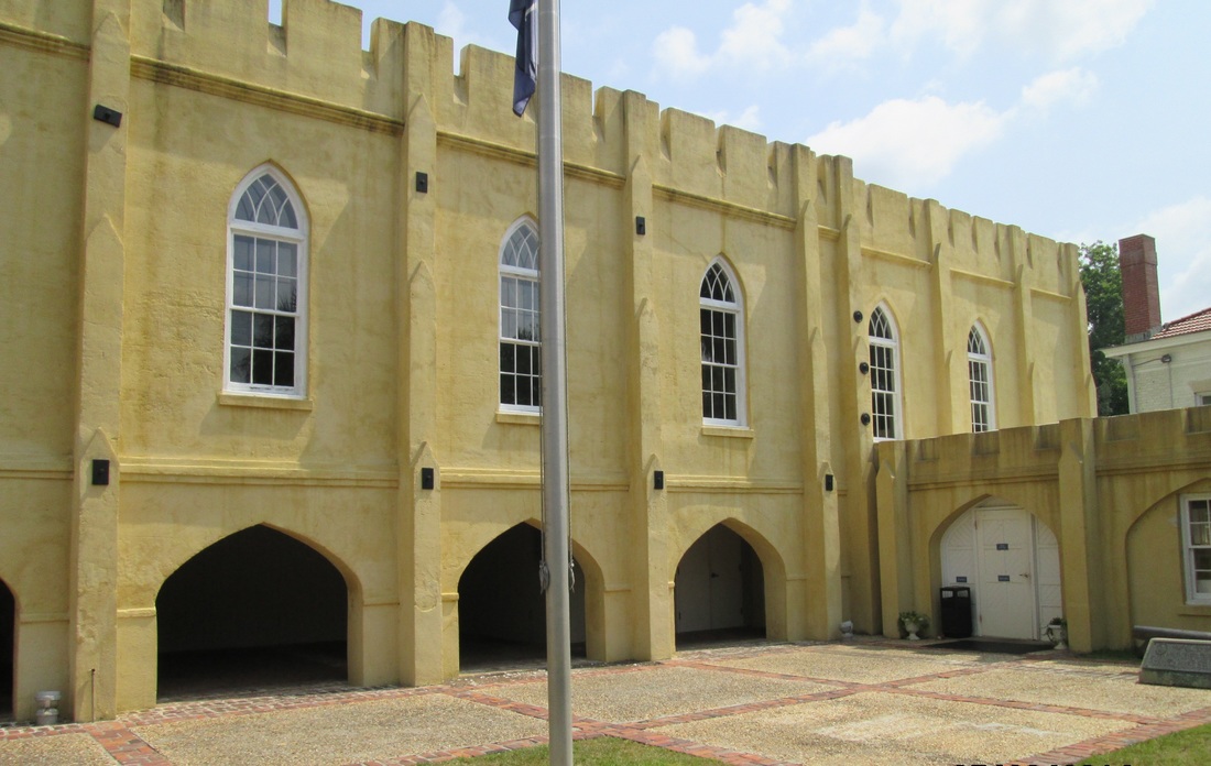
 The Arsenal (Photo by Bill Hill)
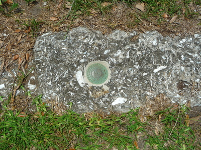
 The coastal town of Beaufort, located roughly halfway between Savannah and Charleston, was the center for British tabby, starting around 1700. Today, Beaufort County has the highest concentration of tabby in the United States. (For more information on Beaufort tabby, see Daniel Adams’ article, “Tabby: The Oyster Shell Concrete of the Lowcountry,” Beaufort County Library.)
Because Beaufort has maintained many edifices, the tabby is covered with stucco or other material, and the buildings are occupied. Therefore, most of Beaufort’s tabby structures are beyond the scope of this blog about abandoned ruins of exposed oyster shell concrete. However, glimpses of tabby can be seen at sites listed below:
The Arsenal
The Arsenal is the one tabby building in this list where the oyster shell concrete is not visible. However, it is included because it is the Visitor Center and a good place for information. Originally made of brick and tabby in 1795, the Arsenal was rebuilt in 1852 and renovated in 1934.
Location
GPS: N 32°25.959 and W 80°40.234
Address: 713 Craven St., Beaufort, SC 29902
Accessibility: Open Monday-Saturday 9am-5pm and Sunday 12pm-5pm. For more information, go to http://www.beaufortsc.org/.
St. Helena's Episcopal Church
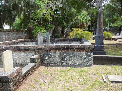
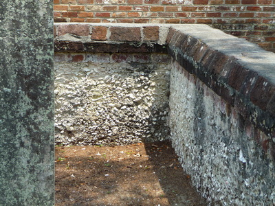
The church and cemetery are surrounded by tabby walls. The church was constructed in 1724 and expanded in 1842.
Location
GPS: N 32°26.054 and W 80°40.455
Address: 505 Church Street
Accessibility: The tabby walls are outside in the church yard and can be seen any time, but to tour the church and attend services, see the church website at http://www.sthelenas1712.org/.
Bay Street Building Exterior
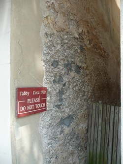
A sign indicates that this Bay Street building was constructed circa 1760.
Location
GPS: N 32°25.851 and W 80°40.240
Address: 715 Bay Street. Look at the side of the building extending into a narrow alley.
Accessibility: Bay Street is Beaufort's key location for shops, restaurants, etc. Park in one of the Bay Street lots and walk to this and the next two sites.
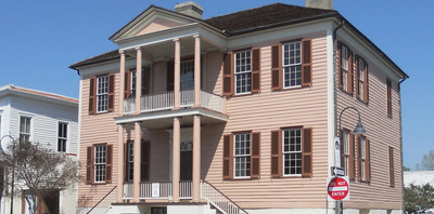
Verdier House
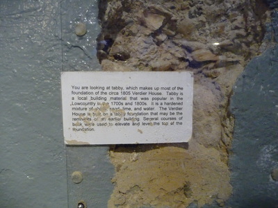
Constructed circa 1804, this Federal-Style mansion is now a museum. Although it costs $10 to tour the house, the ground floor is free and open to the public. The ground floor displays a sliver of tabby, forming the base of the walls, along with other historical artifacts.
Location
GPS: N 32°25.845 and W 80°40.256
Address: 801 Bay St.
Accessibility: Open Monday-Saturday 10am-4pm. Although it costs $10 to tour the house, the ground floor (with tabby sample and other artifacts) is free and open to the public. For more information, see the Historic Beaufort Foundation website at https://www.historicbeaufort.org/verdier-house.php.
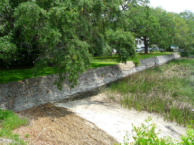
Tabby Sea Wall
The sea wall is of undetermined date and origin.
Location
GPS: N 32°25.837 and W 80°40.172
Address: Located at the east end of Bay Street between Carteret and New Streets, at the Stephen Elliott Park.
GPS: N 32°25.837 and W 80°40.172
Address: Located at the east end of Bay Street between Carteret and New Streets, at the Stephen Elliott Park.

 RSS Feed
